Studied from its original page
Pilot-chart wind rose
- Made by
- US Navy Hydrographic Office
- Year
- 1883
- Field
- Navigation and transport
- Kind
- Map
- Room
- How a group spreads
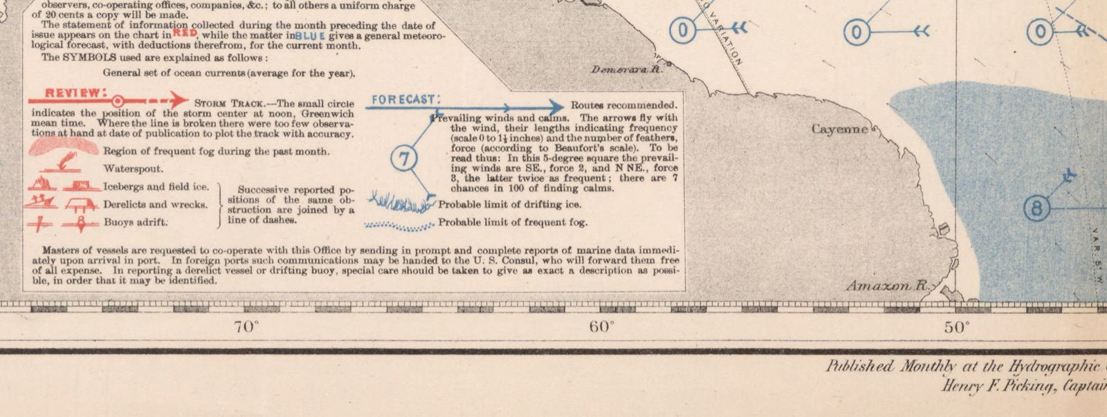
See the original page — Pilot Chart of the North Atlantic Ocean, January 1890, Explanation box, lower centre (IIIF region 3150,6350,2650,1000 of the 11111x7582 scan)
Published 1890 (A, and also a US federal work) and a government work published before 1955 (B).
The data it needs
positionidentity · categorical · grid celldirectionaxis · ordinal · compass sectorfrequencyvalue · quantitative · percentmodal_forcevalue · ordinal · Beaufortresidualvalue · quantitative · percent calms
Built in 6 steps, as its maker described
chart legend; not opened
5 other forms share this skeleton
Source
US Hydrographic Office pilot charts, from 1883
Attribution less certain: contested, or no single inventor recorded